'Wall of rain' and snow headed for UK, here’s when you can expect it
Hot off the heels of Storm Ciarán, more bad weather is on its way.
As the UK recovers from the effects of Storm Ciarán, yet more bad weather is on its way. Britain is set to see a drastic drop in temperatures over November, with lows of 5C in some areas. The Met Office’s long-range forecast shows that we should prepare ourselves for more wet weather. Meanwhile, forecasters have predicted that we will see snowfall in some parts of the UK in the run up to Christmas.
Here’s everything we know so far about the 'wall of rain' making its way towards the UK and the snow that could arrive within weeks.
Rain to hit the UK
Over the last few weeks, we have seen several heavy rain, flooding and high wind warnings issued for areas around the UK. Fortunately, as of 9:45AM on Monday 6 November, there are no weather warnings in place. However, this probably won’t last long as a ‘conveyor belt’ of Atlantic lows are expected to cover parts of the UK until December. This is likely to cause a whole month of rain.
The Met Office’s long-range forecast, which covers 20 November to 4 December, said:
Unsettled conditions likely to dominate with further rain and showers for all regions.
The heaviest and most frequent spells of wet weather are most likely in northern and western parts of the UK. Drier spells of weather do remain possible, these most likely to occur in the south.
It seems that between now and Christmas, we are in for a season of precipitation.
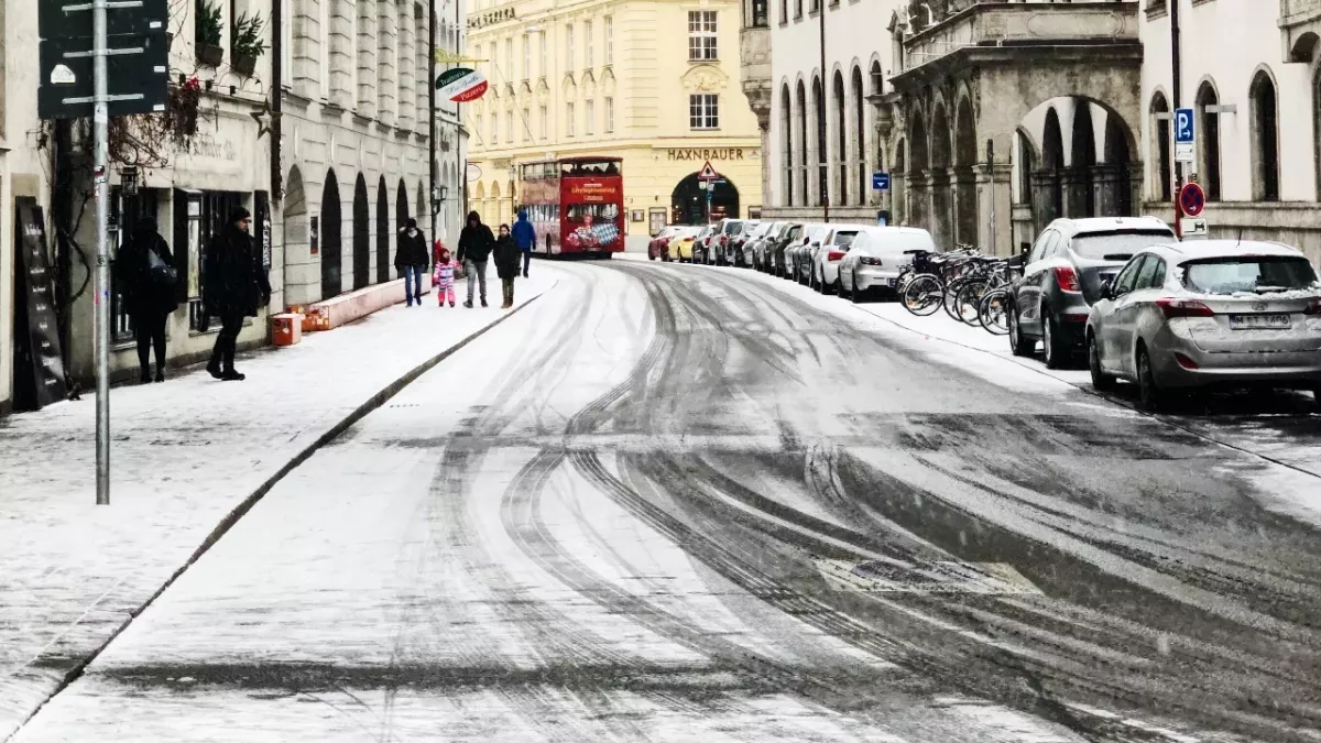
We could see snow this month
Some of this precipitation could turn into snow as temperatures around the UK will dip significantly in the coming month. James Madden, forecaster for Exacta Weather, told GB News:
Low pressure from the north next week is likely to bring some snow over high ground, and from around mid-month, there will be a greater risk of more significant dumps of snow, again across high ground, but later to lower levels.
Events we will be looking at are a blocking area of high pressure building in Greenland, and expansion of snow across the Arctic regions and Europe.
Madden warned that with the lower temperatures, forecasters are ‘expecting the risk of widespread frosts becoming commonplace’. He also suggested that we could see a white Christmas this year in parts of the UK:
This will become more likely from around mid-month, or possibly a little earlier. However, there is a chance we could see a number of wintry blasts in the run up to Christmas.
Forecasters will get a more accurate image of the exact times and locations for this snow closer to the time, but our fingers are certainly crossed for some white dusting over the festive period!
Read more:
⋙ Is cold weather the reason you’re catching a cold?
⋙ Seven Hacks For Keeping Warm In The Cold Weather
Sources used:
Express: UK weather maps show terrifying wall of rain heading for UK to last a MONTH
Express: Met Office verdict on snow hitting UK as Arctic plume to see temperatures plummet
Met Office: UK Weather Warnings